Social Media


Popular features
Photo

Filters

Stock royalty-free photos and images of Geodesy
Discover unlimited high resolution images of Geodesy and stock visuals for commercial use.

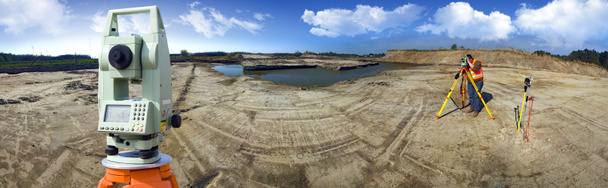
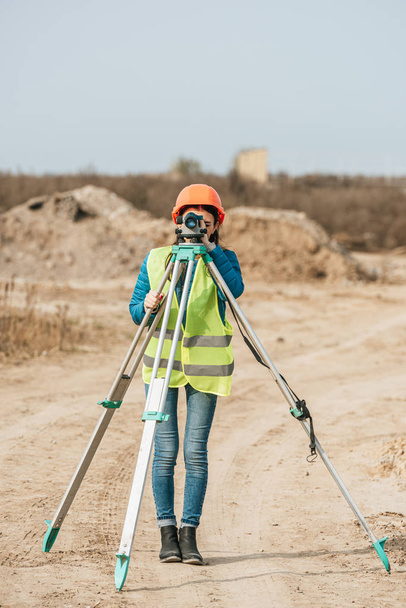
Theodolite survey outdoors

Land surveyors on duty at an European petroleum well

Land surveying


Land surveying

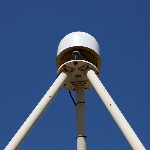
Profesional ultra precise GNSS (Global Navigation Satellite System) antenna using all available satellites not only GPS
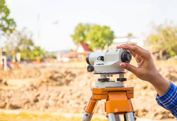
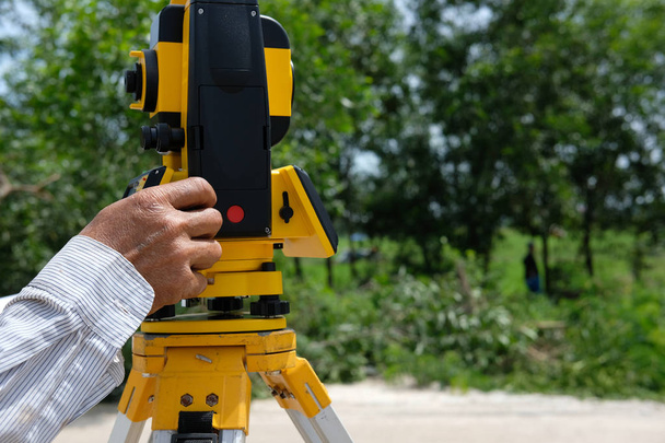
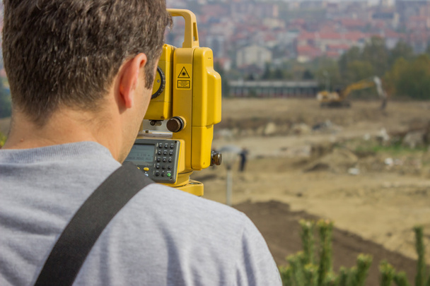
Surveyor equipment tacheometer or theodolite outdoors at construction site.

Russia Kemerovo 2019-03-15. Land surveyor equipment. Robotic total station theodolite standing on tripod. Equipment used for mapping construction buildings, infrastructure

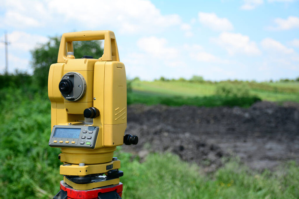
Modern theodolite at work close up on blurred background outdoors

Outdoor topographic measurements and positioning with total station and prism

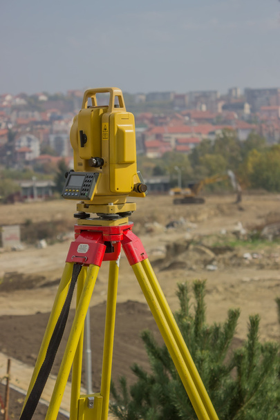
Yellow equipment set out on tripod on building site against cloudless blue sky. Construction site surveying engineering equipment, EDM, tacheometer set out on tripod site ready for setting out.


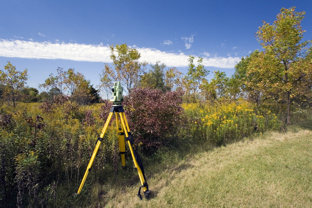
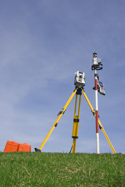
Surveyor equipment on a tripod near river

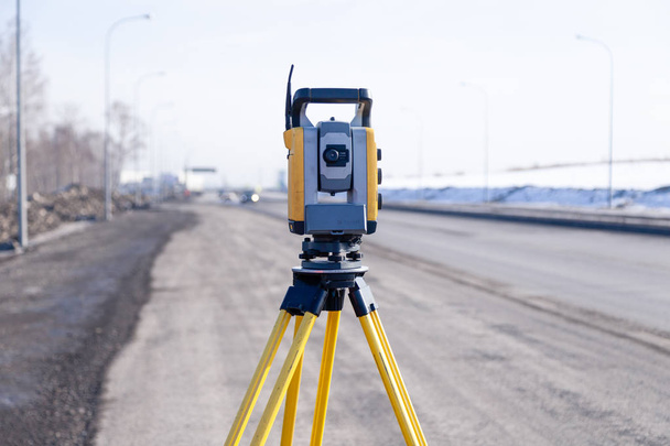
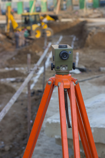
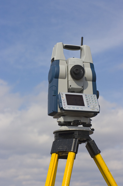
Theodolite on a tripod for surveying on a construction site
Russia Kemerovo 2019-03-15. Land surveyor equipment. Robotic total station theodolite standing on tripod. Equipment used for mapping construction buildings, infrastructure

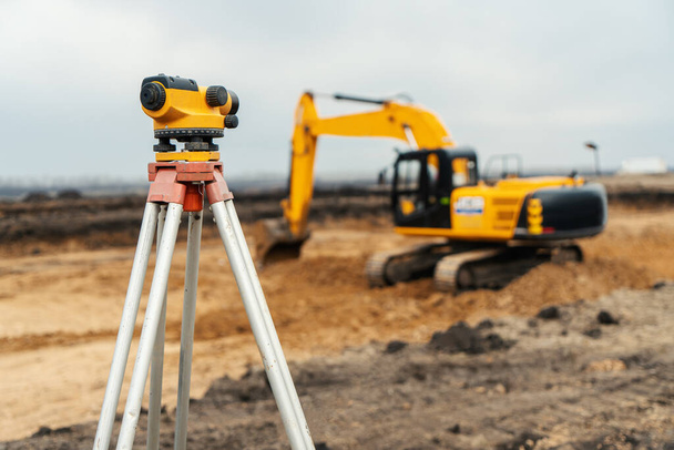
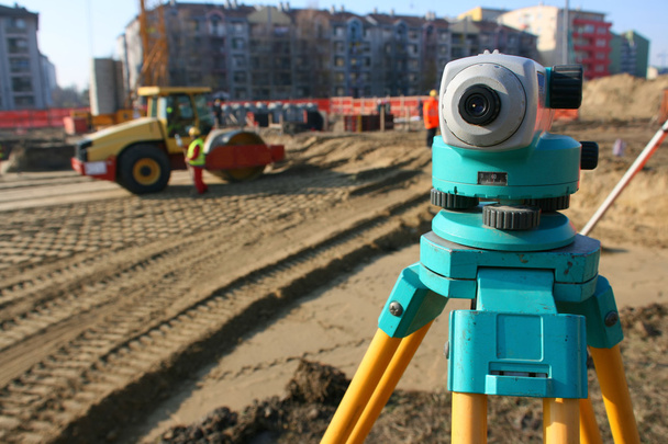
Surveyor instrument for measuring level on construction site, roller with spikes is compacting soil at construction site in background.


Surveyor equipment tacheometer or theodolite outdoors at construction site.

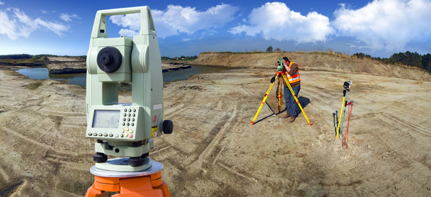
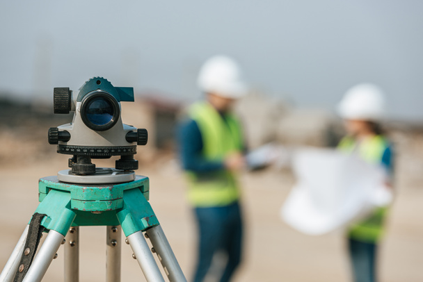
Survey equipment theodolite and total station at construction site


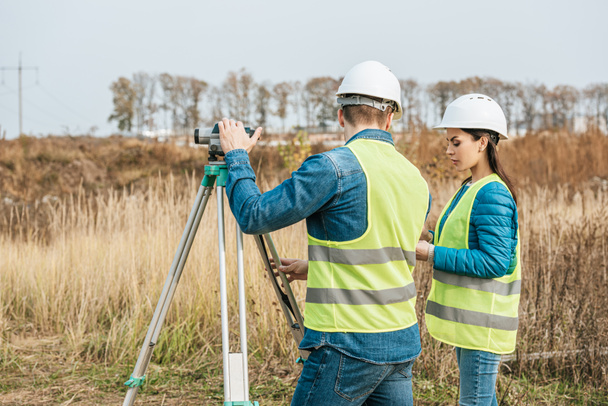
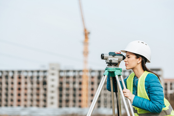
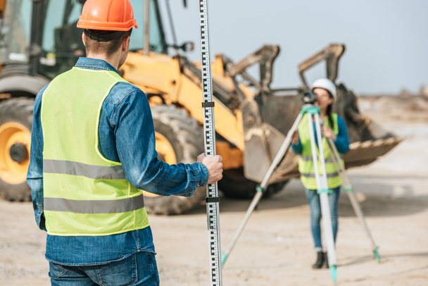
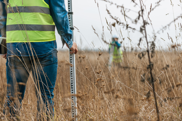
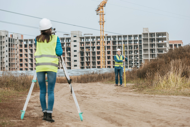
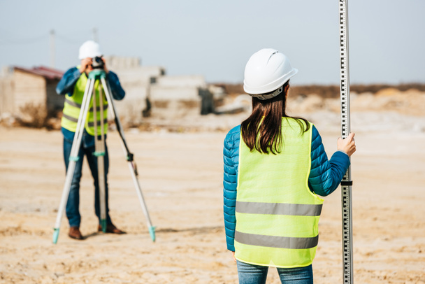
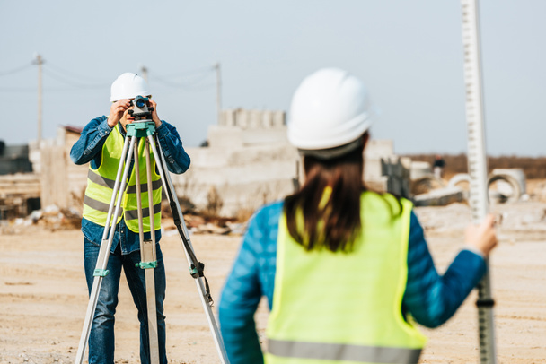
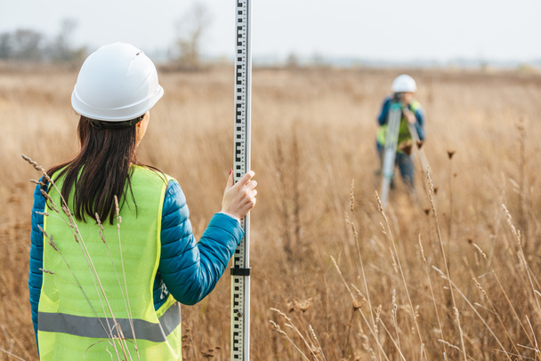
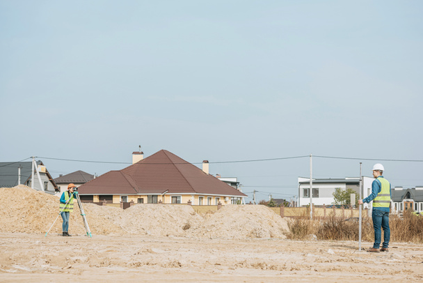
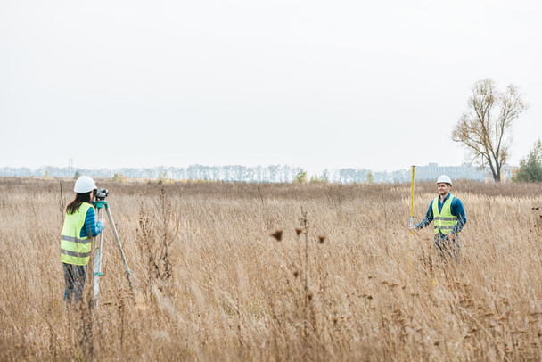
Surveyors ensure precise measurements before undertaking large construction projects.

Theodolite survey outdoors
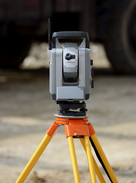
Total station on tripod on construction sit
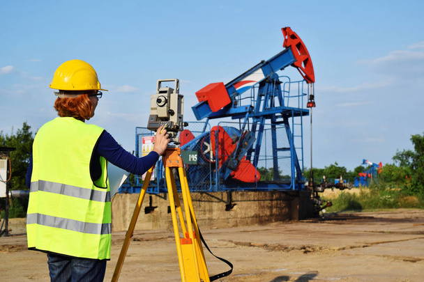
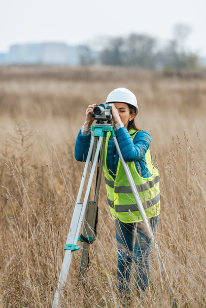
A female engineer - land surveyor at work on an European oil well

Russia Kemerovo 2019-03-15. Land surveyor equipment. Robotic total station theodolite standing on tripod. Equipment used for mapping construction buildings, infrastructure

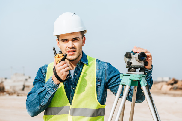
Surveyor engineer making measure in outdoor


Laser measurement level for construction works.The device for determining the horizon and vertical.
Russia Kemerovo 2019-03-15. Land surveyor equipment. Robotic total station theodolite standing on tripod. Equipment used for mapping construction buildings, infrastructure
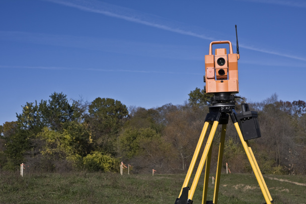
Instrument geodetic instrument device with radio station in field. Russia

Big Construction Site images
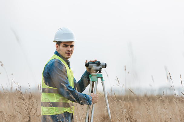
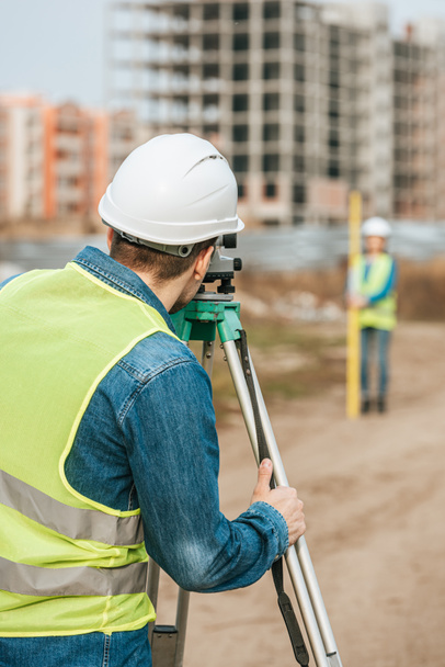
Civil engineer land survey with theodolite outdoor at construction site. surveyor builder and engineer working with theodolite.

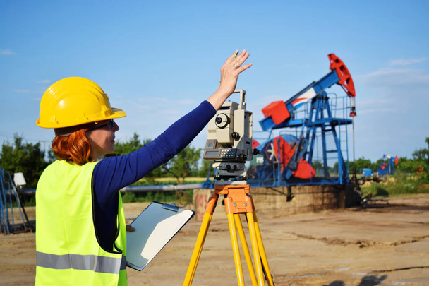
A female engineer - land surveyor at work on an European oil well


Surveyor equipment tacheometer or theodolite outdoors at construction site.

Yellow equipment set out on tripod on building site against cloudless blue sky. Construction site surveying engineering equipment, EDM, tacheometer set out on tripod site ready for setting out.

Theodolite tool on construction site on sunny day

Robatis station set in the field.

Robotic station with a prism pole ready for work.

Surveying measuring equipment level transit on tripod at construction building area site

Russia Kemerovo 2019-03-15. Land surveyor equipment. Robotic total station theodolite standing on tripod. Equipment used for mapping construction buildings, infrastructure


Surveyor equipment optical level or theodolite outdoors at construction site

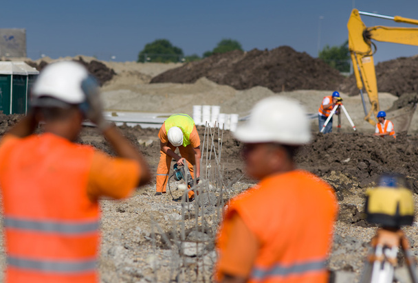
Construction workers working on different jobs at building site

Tacheometer for land surveyor. electronic theodolite equipment for geodetic survey at construction site

Geodetic device on the construction site.
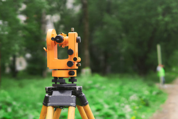
Vintage theodolit close up at construction site

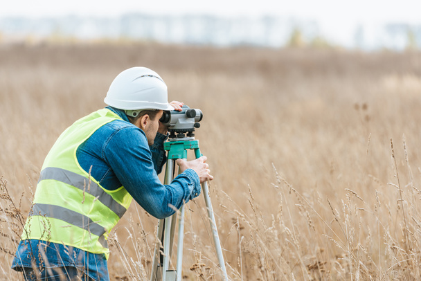
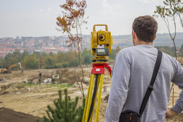
Land surveyor behind theodolite, measuring with theodolite


Russia Kemerovo 2019-03-15. Land surveyor equipment. Robotic total station theodolite standing on tripod. Equipment used for mapping construction buildings, infrastructure


Surveyor equipment theodolite on tripod with gps
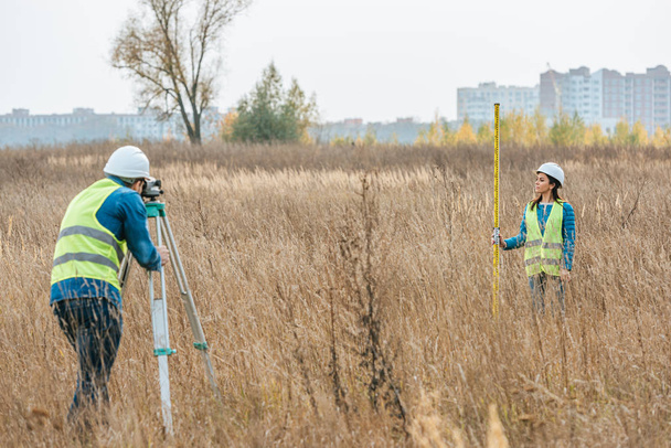

Woman surveying is measuring level on construction site. Surveyors ensure precise measurements before undertaking large construction projects.


Land-surveying instrument mounted on tripod.
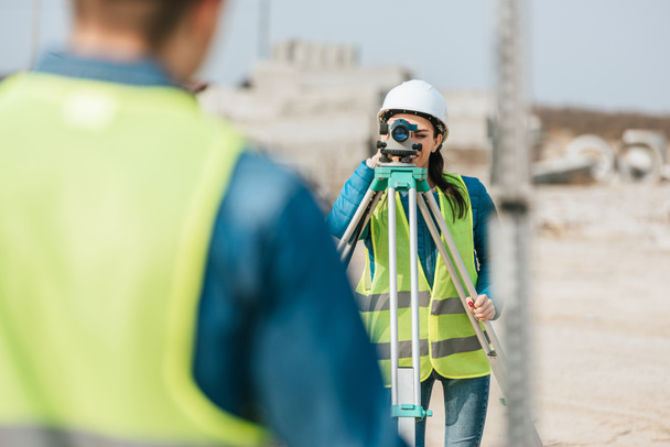
Land surveyor behind theodolite, measuring with theodolite

Theodolite seen against cloudy sky

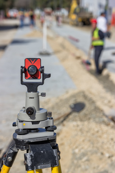
Total station prism. Prism for survey, used for distance measurement. Focus on prism


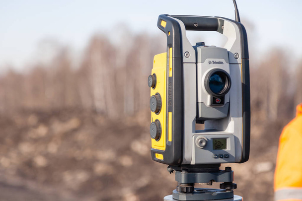
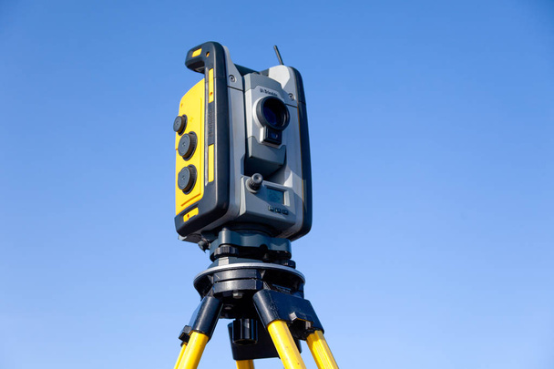
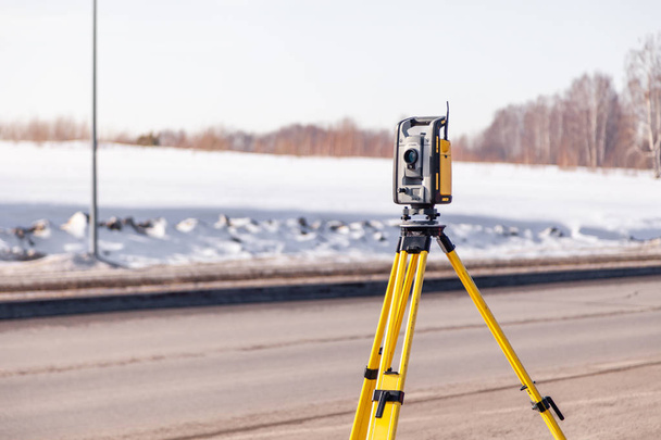
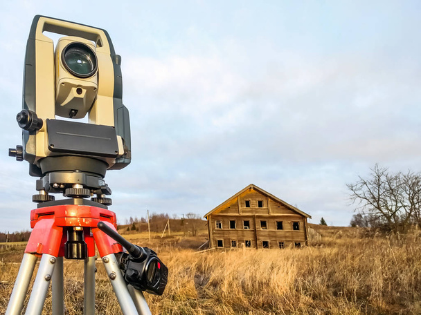
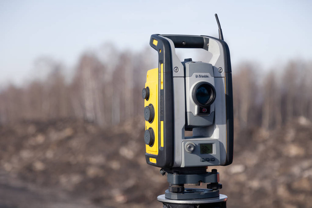
The total station. The geodetic and topography measuring tool.


Total station theodolite archaeology engineering and construction tool .